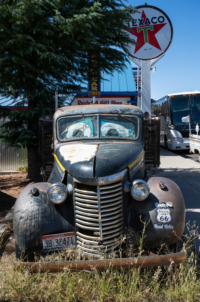
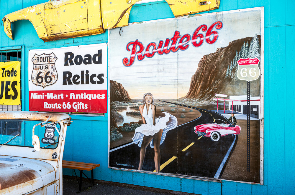
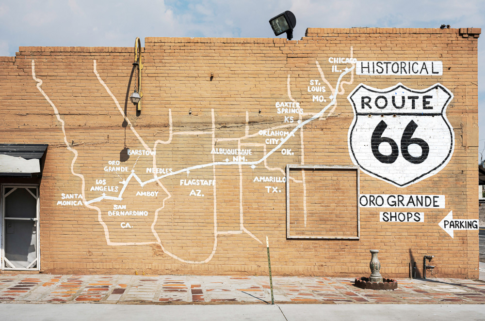
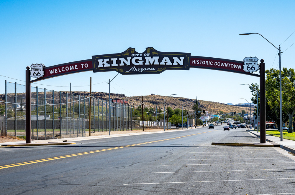
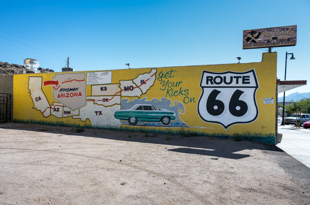
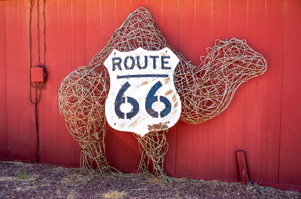
The Mother Road (Route 66).
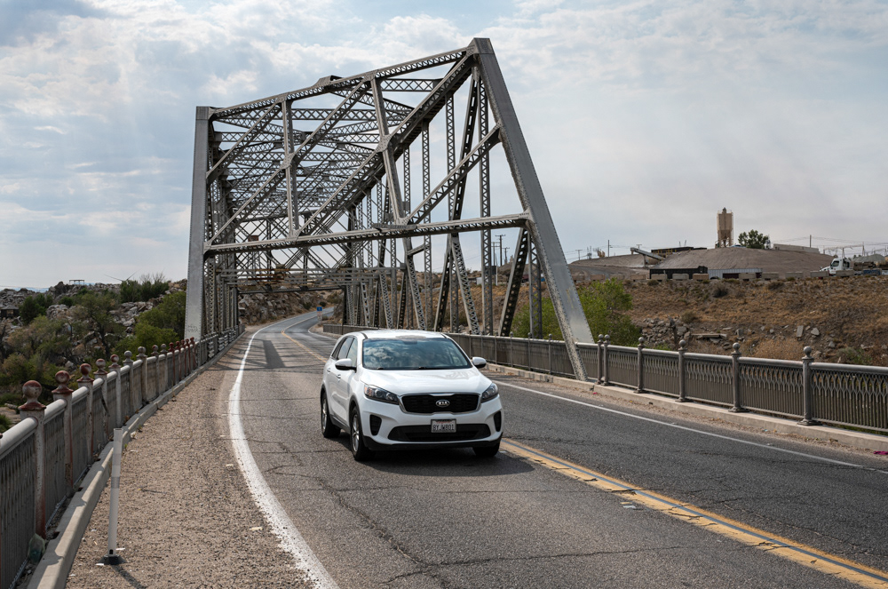
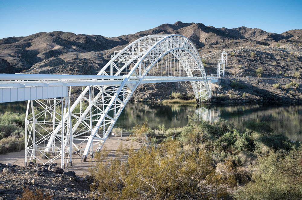
The 1930 Rockfield Bridge, also known as the Oro Grande Bridge or Route 66 Bridge.
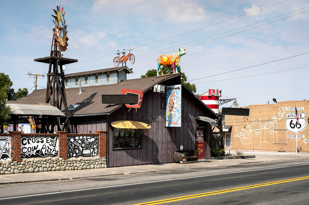
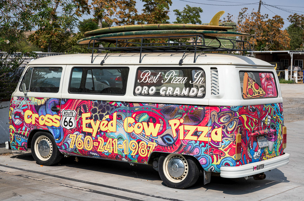
1970s Volkswagen Camper, the Cross Eyed Cow.
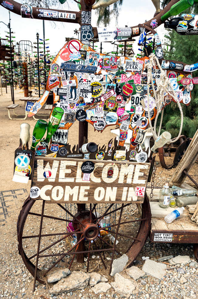
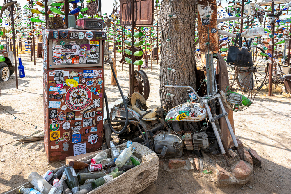
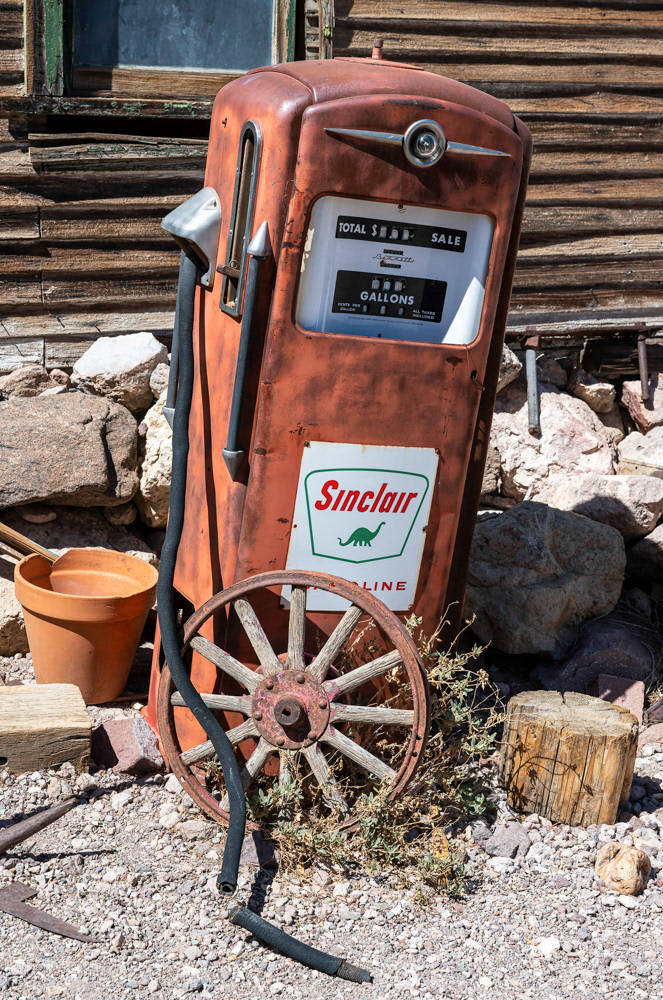
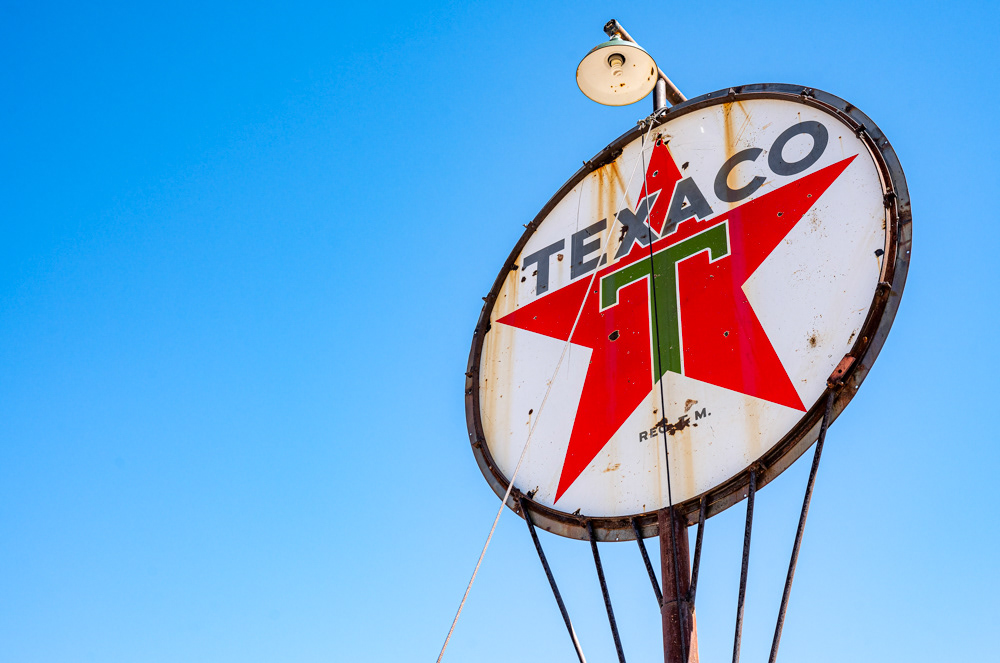
Gasoline and Combustion | Elmer’s Bottle Tree Ranch.
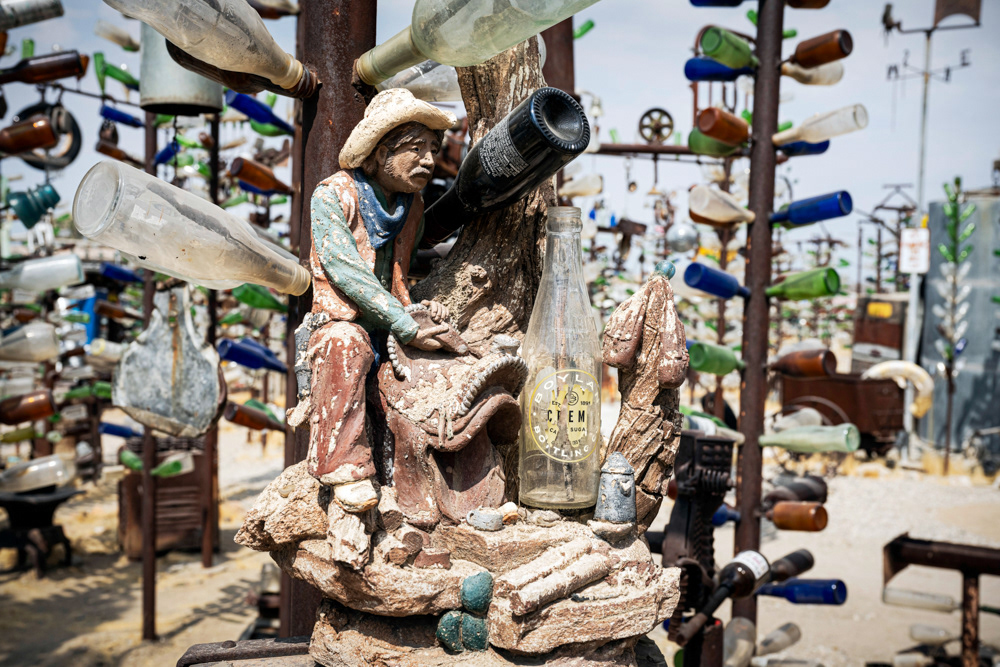
The Cowboy | Elmer’s Bottle Tree Ranch.
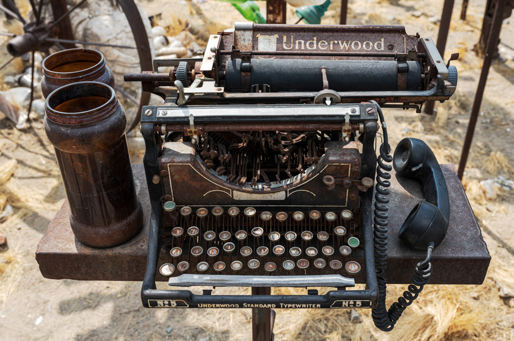
Underwood Standard Typewriter No 5 | Elmer’s Bottle Tree Ranch.
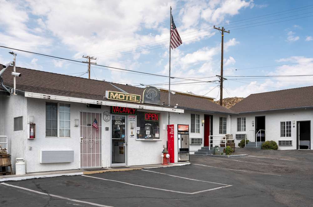
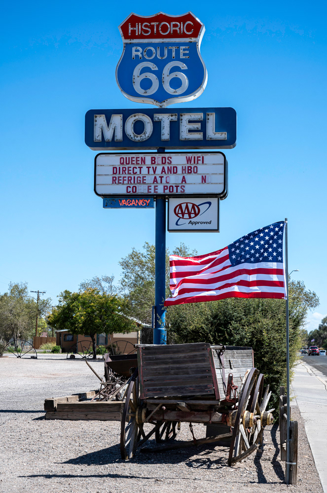
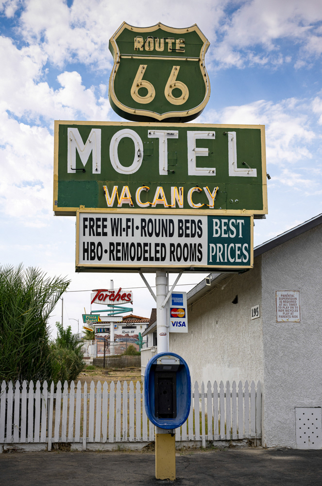
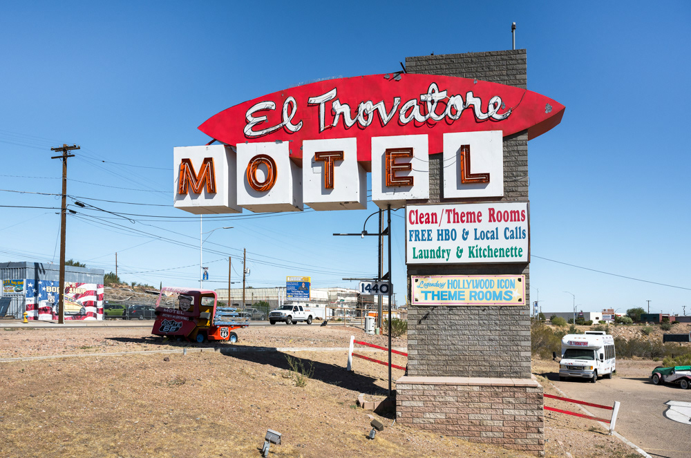
The Route 66 Motel in Barstow.
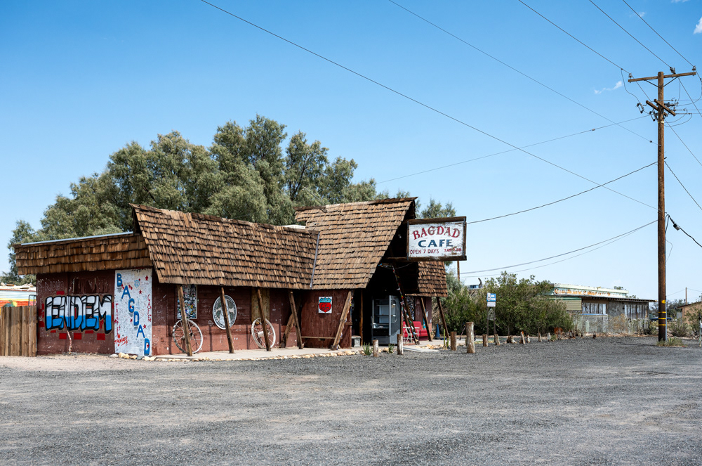
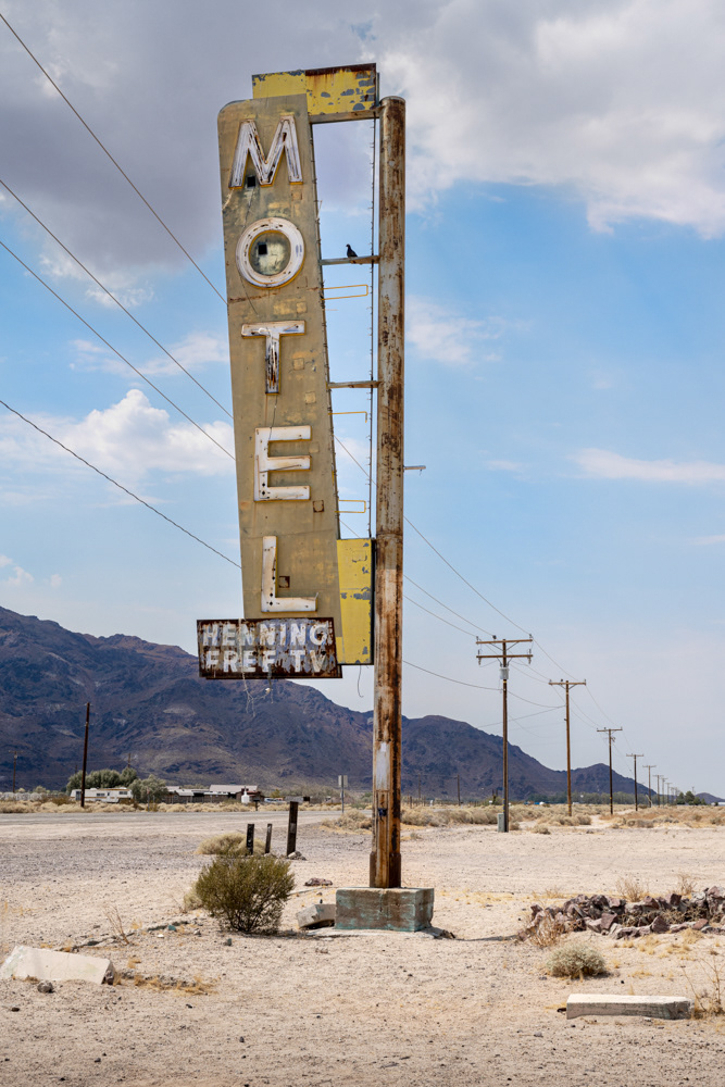
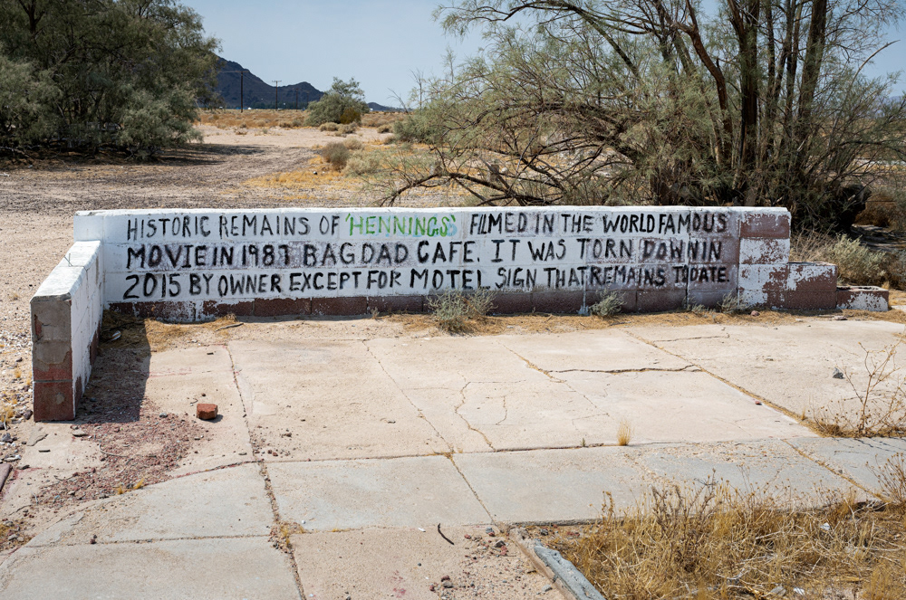
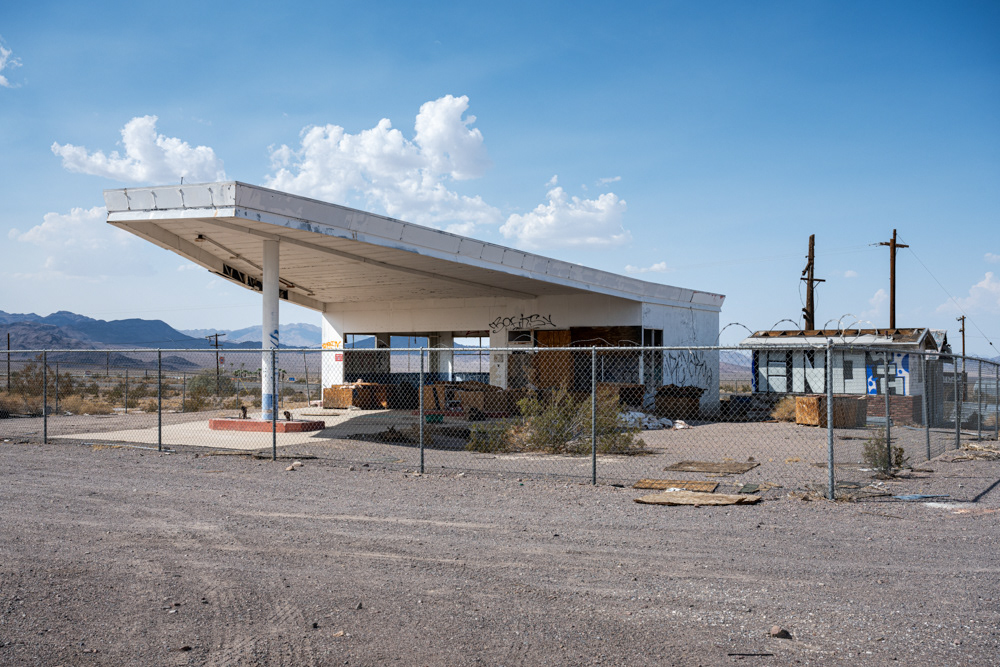
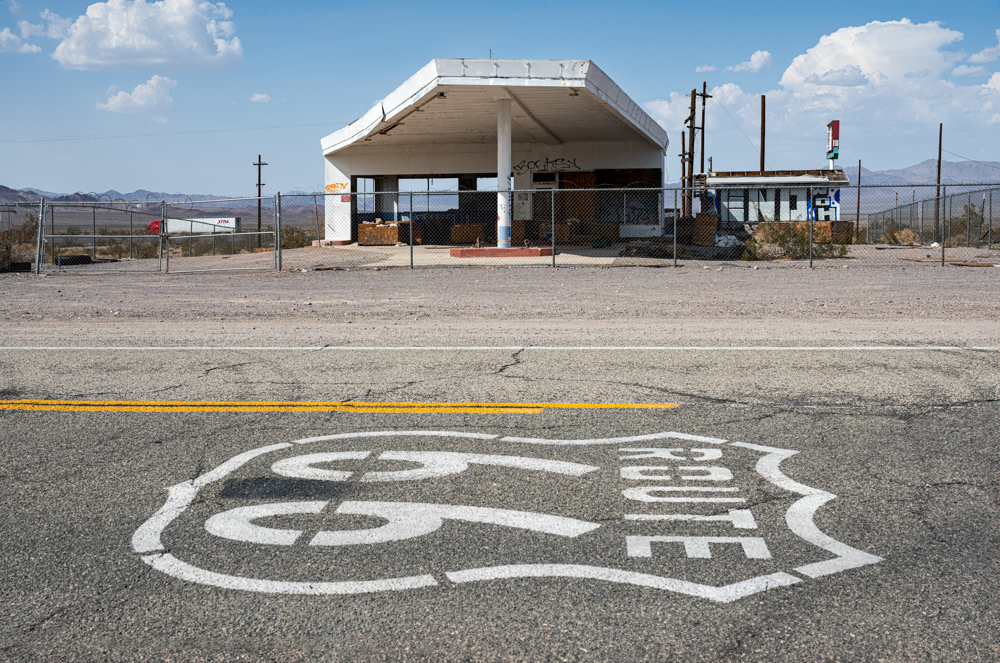
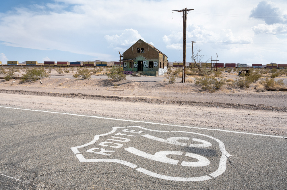
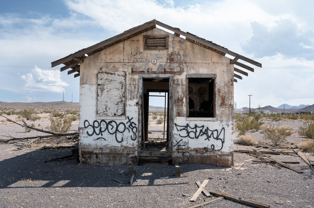
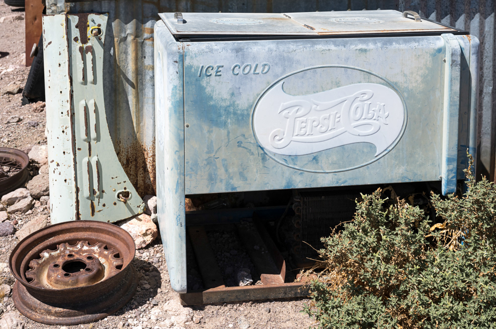
All that remains of the Henning Motel are some foundations. The hotel played a pivotal role in the movie Bagdad Cafe.
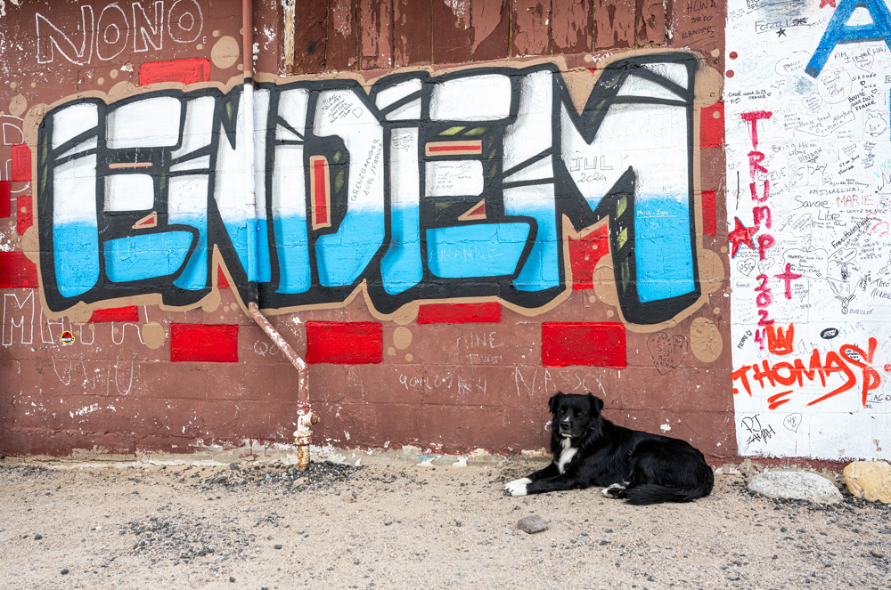
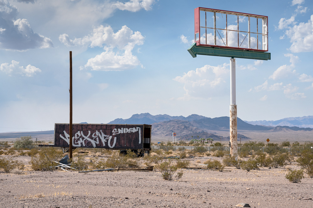
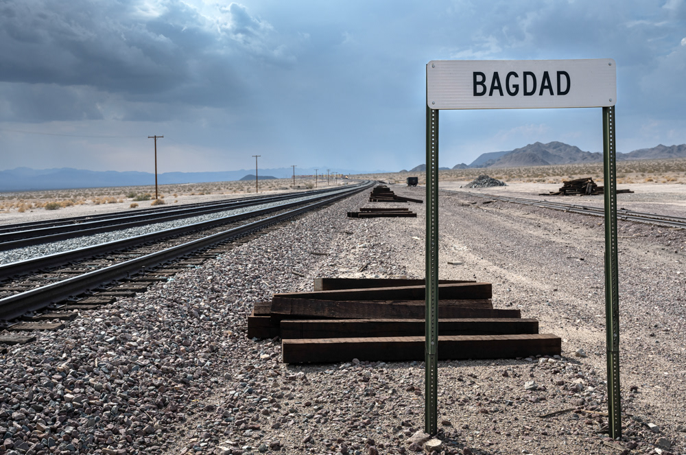
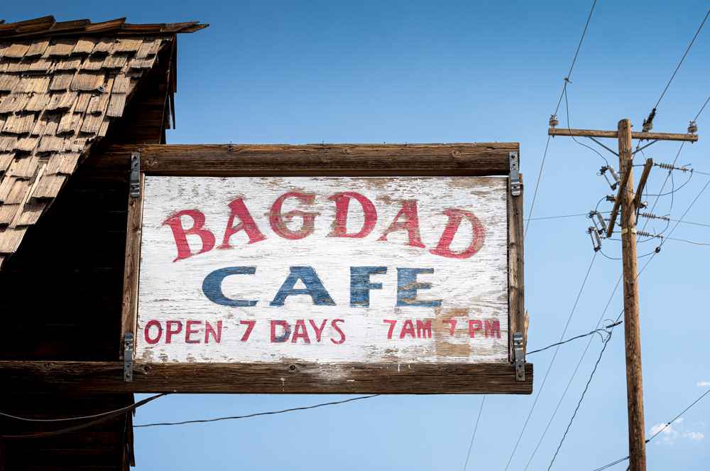
A sign along the Santa Fe railway tracks is one of the few remaining markers of Bagdad’s existence.
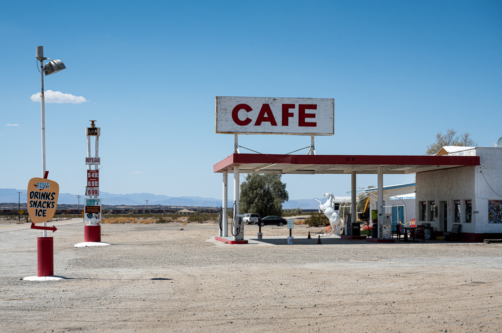
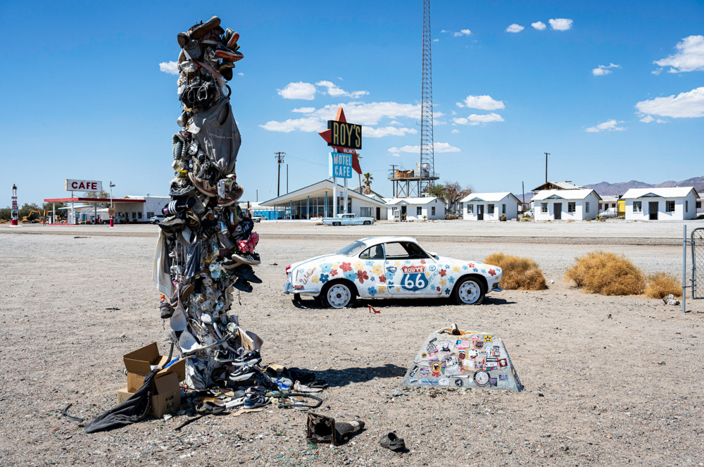
Roy's Cafe and Gas Station, Amboy.
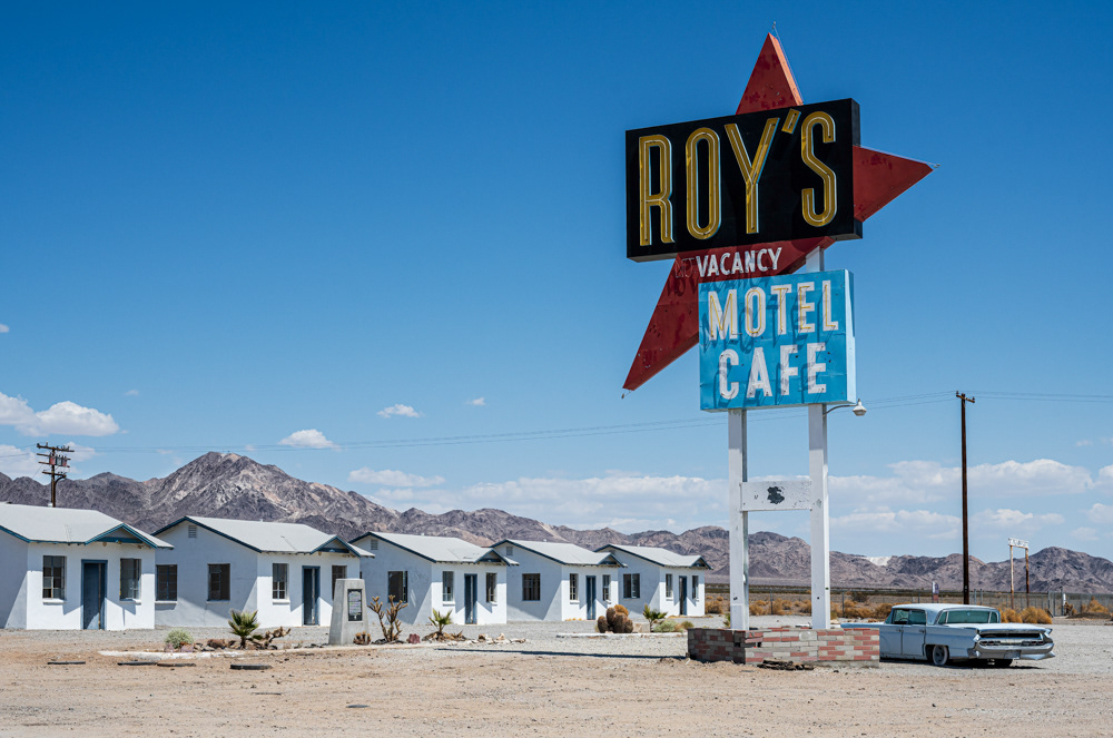
Roy's Motel and Retro Sign, Amboy.
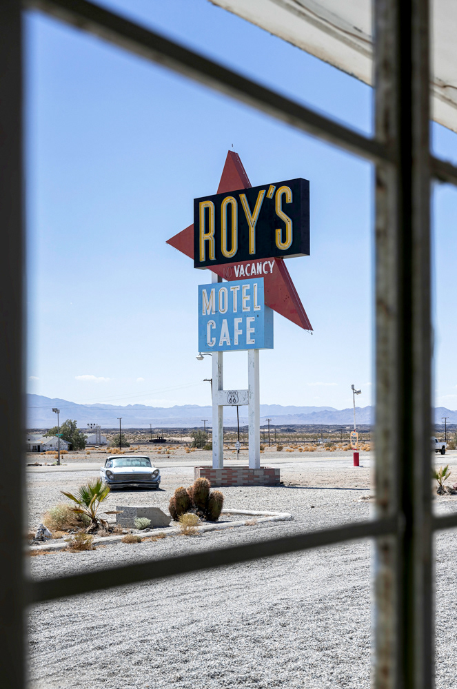
Roy's Motel Retro Sign, Amboy.
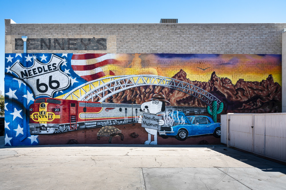
A colorful mural in downtown Needles depicts patriotism, Route 66, the Colorado River, the Needles Mountains, and rail travel.
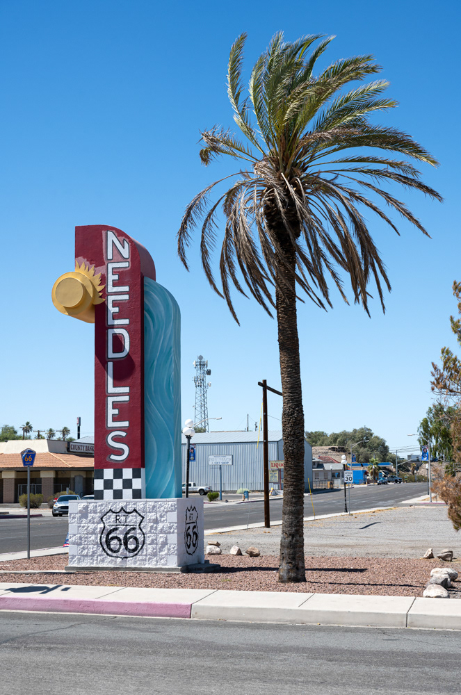
Route 66 through Needles, California.

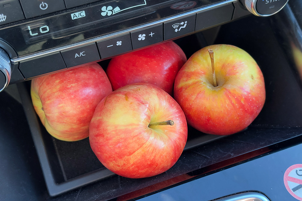
Offerings (posing brides) from the hotel breakfast bar.
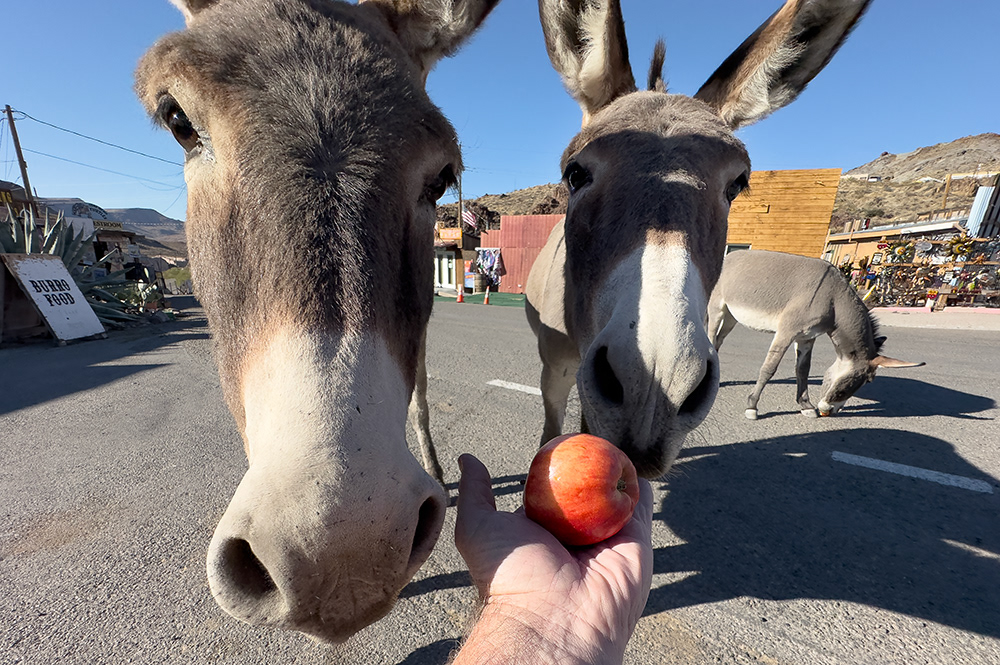
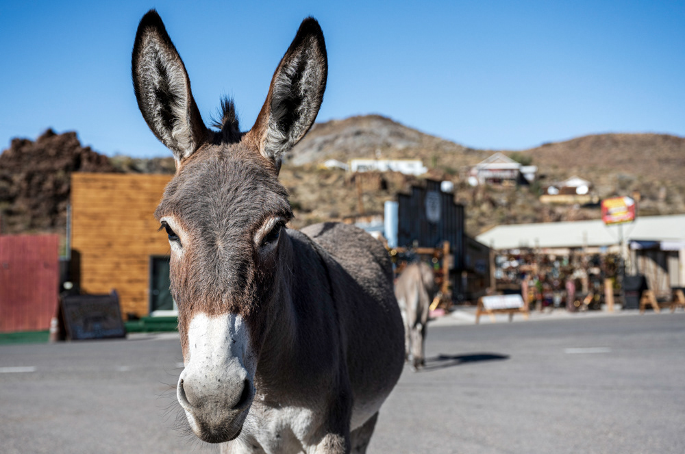
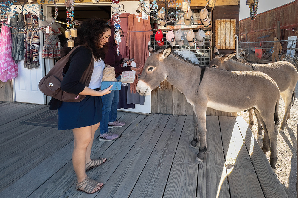
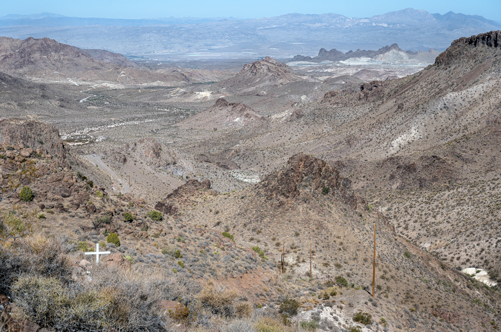
Resident donkeys (burros in Spanish) pose for photographs, gladly accepting my bribes.
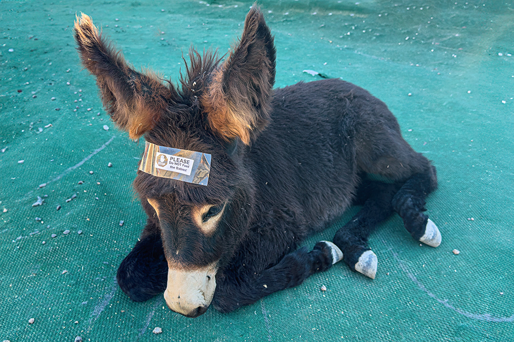
"Please Do Not Feed The Babies."
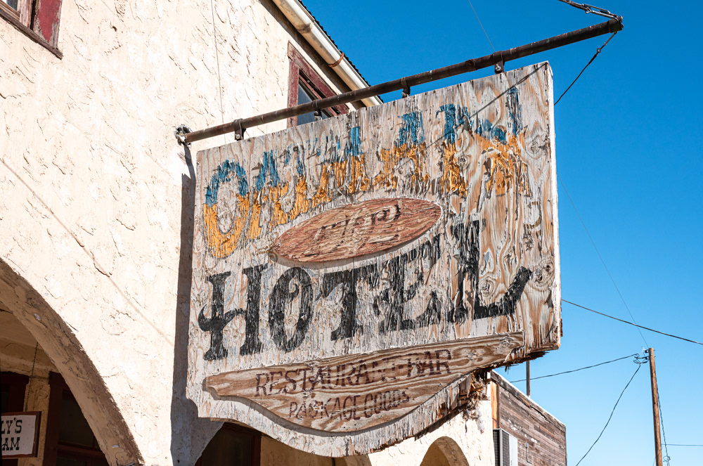
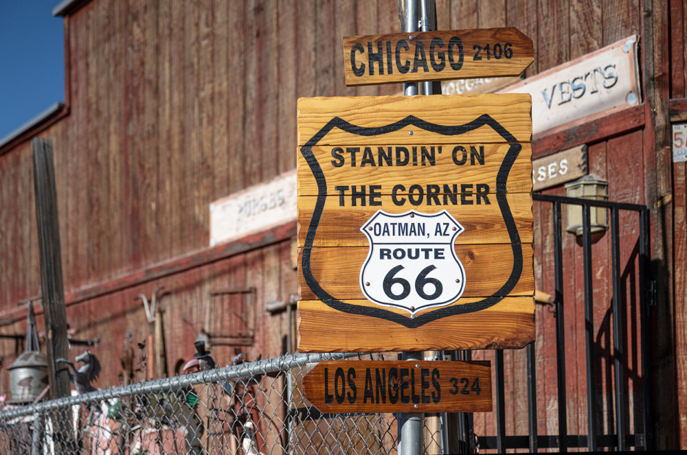
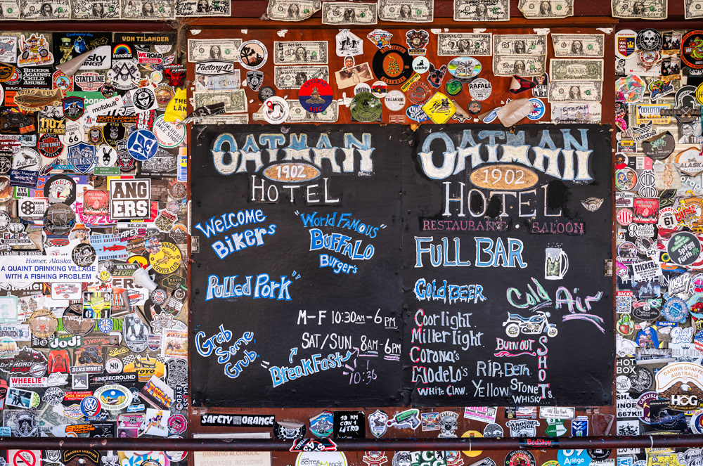
The Oatman Hotel.
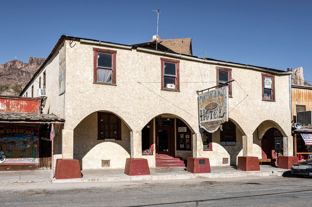
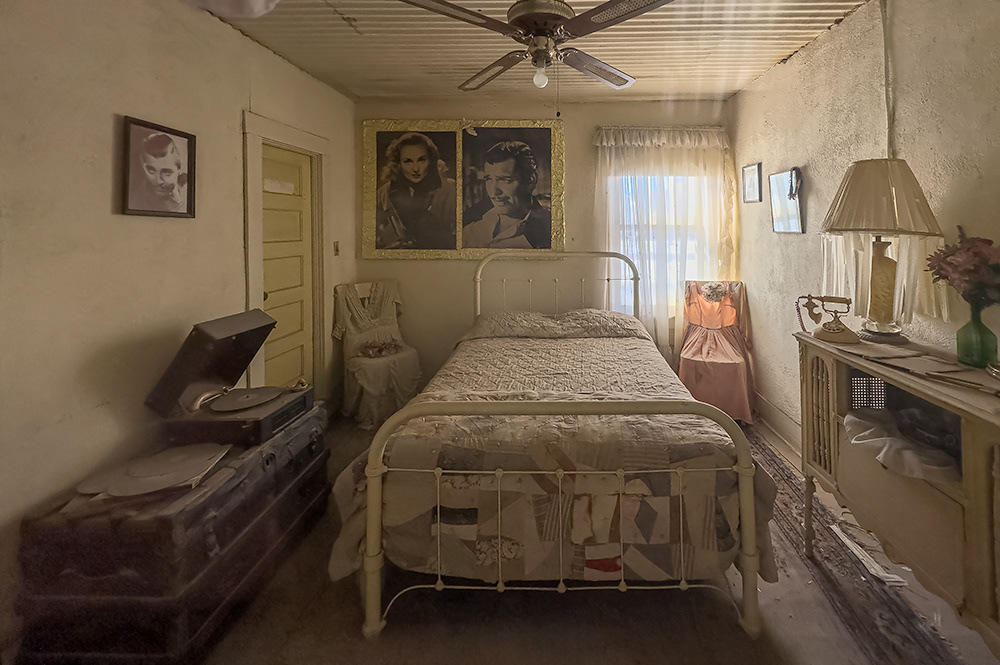
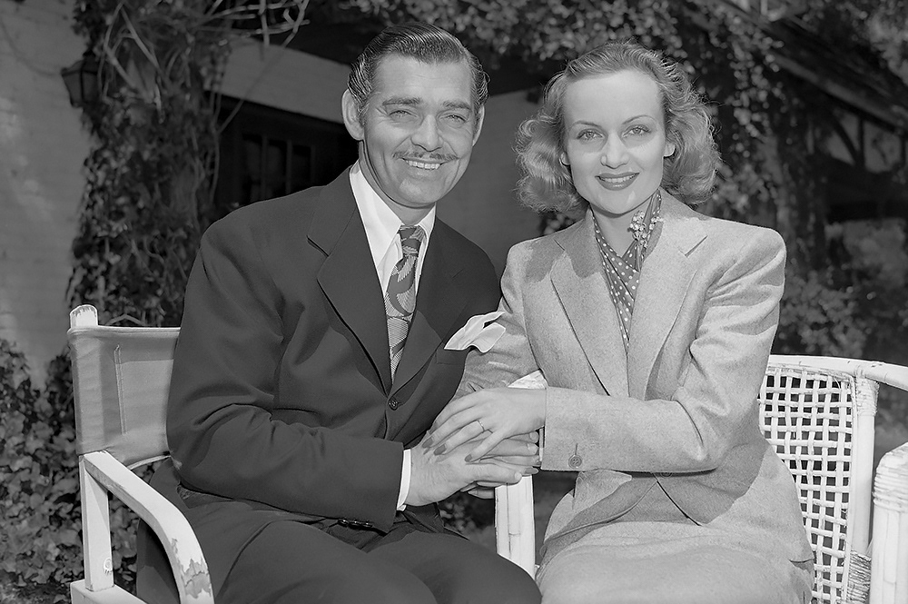
Clark Gable and Carole Lombard on their wedding day, March 29, 1939. | Photo by W. Eugene Smith, Public Domain.
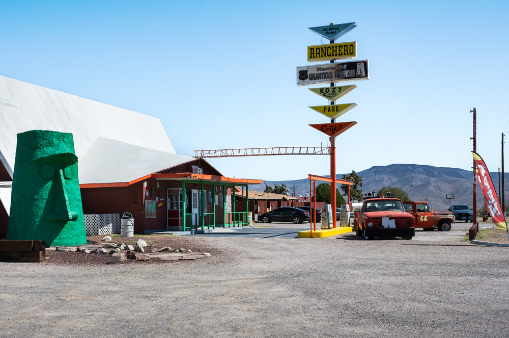
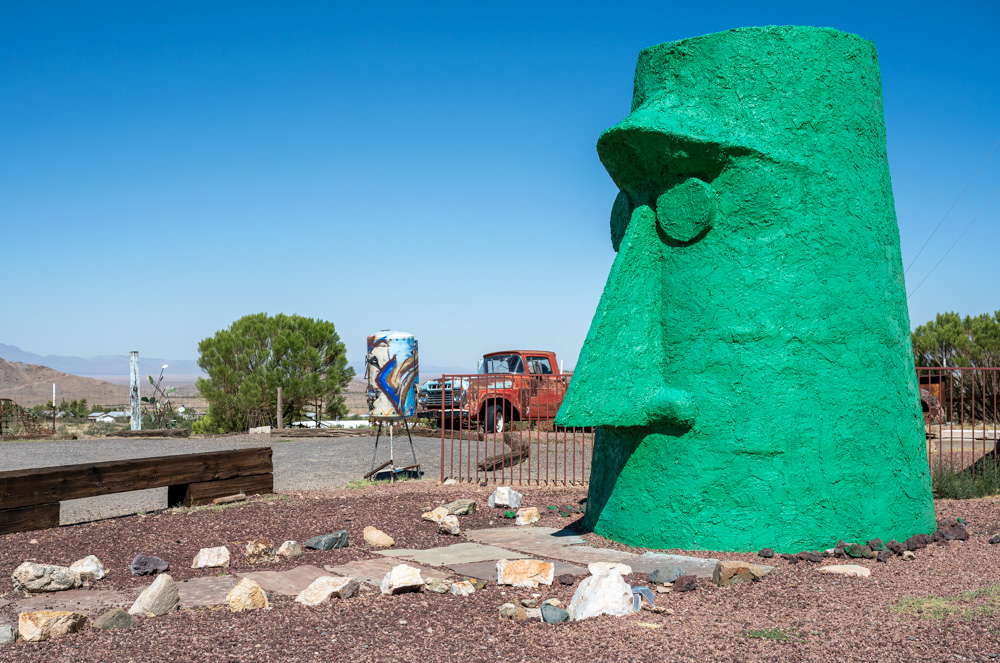
Giganticus Headicus | By Gregg Arnold.
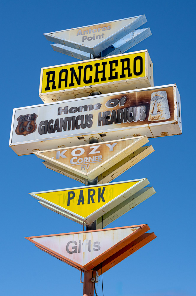
The Ranchero retro sign.
Tiki God at the Point | By Gregg Arnold.
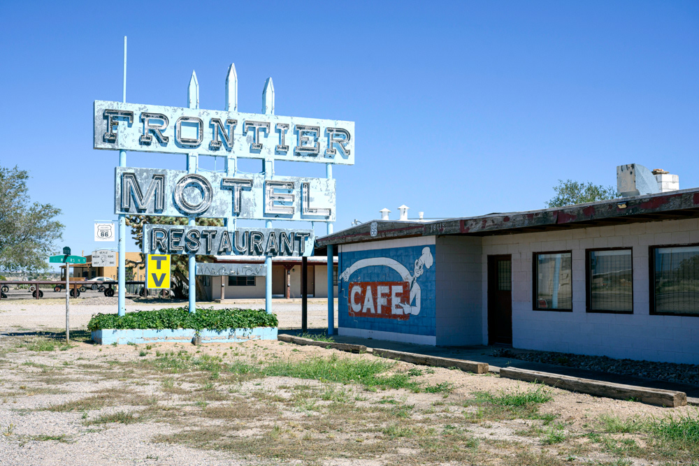
The Frontier Motel in 2024.
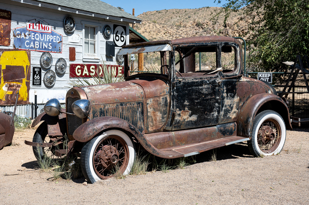
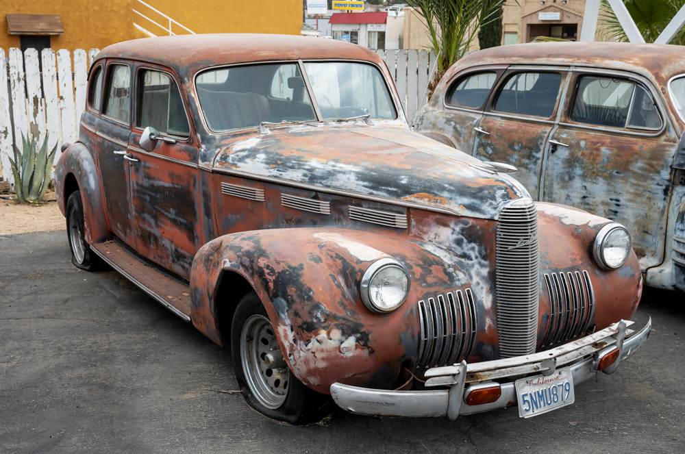
1928 Ford Model A Coupe.